Information Products available for download | Feedback options and deadlines
Meeting videos and slides
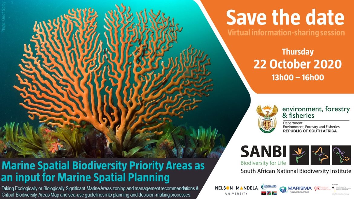 Thank you for participating in the information-sharing session for the National Coastal and Marine Spatial Biodiversity Plan. It was a wonderful to have almost 150 participants in the meeting. Most people were from South Africa, however, interest in South Africa's approach to spatial prioritisation for marine biodiversity and inclusion in MSP processes spread widely, with participants from several other countries as well.
Recordings of the presentations and pdfs of the slides are available here. NEW: Download the Information Session Report from the sidebar, which includes responses to the stakeholder comments and questions sent through the meeting chat and from JotForm. Note: this version of the document includes a correction to the version of the CBA Map that was included in the pdf that was circulated to stakeholders and via SANCOR.
Information Products available for download
To make the process as clear and transparent as possible, we have compiled a list of links to a number of information products that have been used to inform South Africa's marine spatial biodiversity priority areas, as well as a few other useful resources. These are available on the Additional Resources webpage.
Please note, this is not the formal stakeholder engagement process mandated to be part of the National Marine Spatial Planning process. It is an additional step taken by the biodiversity sector to try and develop an input for the MSP process that comprises a connected, adequate, representative portfolio of biodiversity priority areas that is spatially efficient and in least conflict with other ocean-based activities to streamline the MSP negotiations to only those areas that are legitimately contested space. It is expected that the marine spatial biodiversity priorities will be refined both prior to and during the MSP negotatiations, and that compromises by all sectors will be needed during the MSP process.
If you would like to provide feedback on the National Coastal and Marine Spatial Biodiversity Plan Version 1 (Beta 2), particularly in terms of contributing data to advance the products in the two planned iterative steps before Version 1 is finalised, the options are as follows:
-
Online submission forms for:
-
A downloadable grid within which you can code data if this is a preferred format rather than sharing raw data and/or to allow for expert-derived input layers, to be submitted via the online data submission form above. (The grid is available on request)
-
Online meeting engagements if the above to options are not sufficient. If you would like to set up a meeting, please email the technical team: our contact details are in the Coastal and Marine Spatial Biodiversity Plan Technical Report (in the sidebar).
In particular, we would like to include additional biodiversity features, and strengthen conflict avoidance by including areas of high value for other activities at as fine a scale as possible. The higher the resolution of actual biodiversity features and areas of high-value for other activities, the more likely we are able to create a portfolio of marine spatial biodiversity priority areas that are in least conflict with other activities.
Deadlines
[passed] Deadline for inclusion of data in Version 1 (beta 2): 15 November 2020. Version 1 (beta 2) available in Dec 2020.
[passed] Deadline for inclusion of data in Version 1 (released): 31 January 2021. Version 1 (released) available 26 Feb 2021.
[passed] Deadline for inclusion of data in Version 1.1: 30 April 2021.
We will soon announce a launch date for the National Coastal and Marine Spatial Biodiversity Plan Version 1.1, including the full technical report. In the mean time, find the spatial data (CBA Map) and provisional sea-use guidelines here.